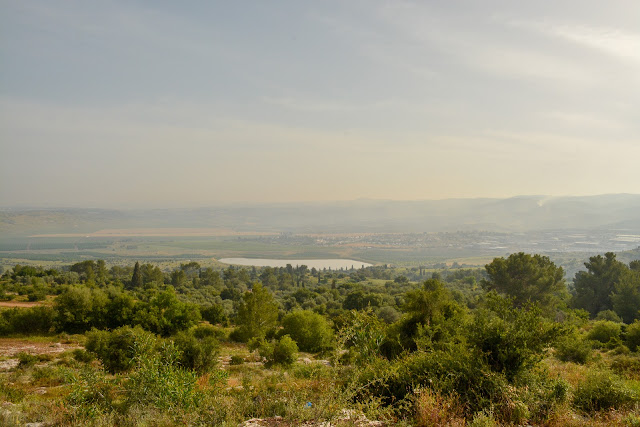
The Aijalon Valley, pictured below, runs east (right) to west (left). The hills to the east lead up the valley to Jerusalem and if you travel down the valley you'll enter the coastal plains.
 |
| The Aijalon Valley |
Because Judah and the area of Jerusalem is so hilly, the people of Israel had to come down into the valleys to farm. This presented many challenges related mostly to their security. Down along the Mediterranean Sea ran the International Coastal Highway, running South to Egypt and North to Damascus. Along the coastal plains lived the Philistines. For the most part, life was safer up in the hills, but Israel had to control the lowlands too in order to grow crops. Therefore, conflict with the Philistines and Egyptians was a constant threat.
Most of our sites today were tels or mounds from the different layers of civilizations. There are over 37,000 tels in the Holy Lands, so yes, this place is incredibly rich in the history of ancient civilizations.
No comments:
Post a Comment